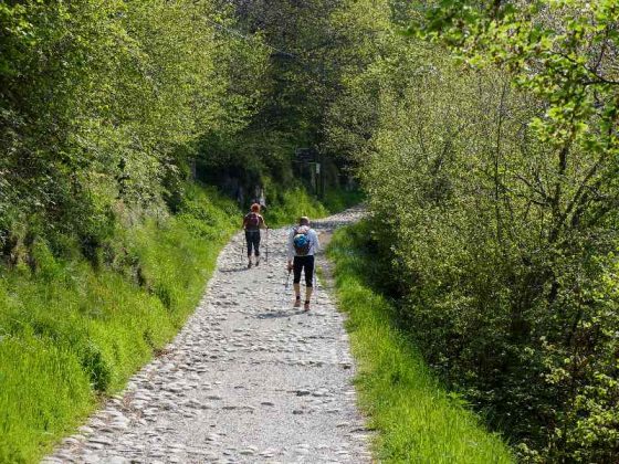
The Strada Regia is an historic route about 35 km long, connecting all the villages on the eastern shores of the Larian Triangle from Como to Bellagio, which allowed shepherds, wayfarers and merchants to pass across the whole district.
The first precise mapping of the track dates back to the Catasto Teresiano, the cadastral maps of 1721, but some documents confirm that it was already present in the 16th century. Some archaeological finds along the comunes touched by the track suggest that its history is much more ancient. From the 7th to the 16th centuries A.D. there are very few references to this track. It might have been travelled by Pope Urban II who went to the Council of Clermont Ferrand on his mission to promote the First Crusade, and who stopped in Nesso to consecrate a parish church. As indicated above, however, the first official mapping of the path dates from the 18th century, 1721 to be precise, with the Catasto Teresiano. The track also appears a few decades later in the “Catasto Cessato” that was made between 1857 and 1861. The Via Regia remained in use until the first decades of the 20th century, until, that is, the Larian state highway 583 began to be built. In some stretches, this highway is superimposed on the ancient mule track of the Via Regia. From that time onwards, the route of the old Via Regia has only been used for local agricultural and pastoral activities, gradually falling into disuse. Recently (between 2002 and 2006) the street has been restored for recreational hiking.