Elevation gain: 1097 meters
Elevation loss: 1210 meters
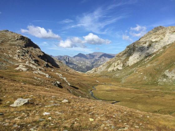
From the little church of Isola (1290 m), take the steep mule track that climbs up the valley of the Febbraro stream. After passing the junction for Ca di Raseri (1507 m), the route climbs more gently, keeping the watercourse on your right. Cross the torrent, turning right and climbing steeply towards Borghetto (1897 m). After passing the last buildings at the crossroads, keep left and continue until you reach the fork in the path for Pian dei Cavalli and Lago Bianco. Continue straight on, passing Lago Grande and Laghetto del Mot to soon arrive at Passo del Balniscio (2353 m). Here begins the descent to the Serraglia Pass (2279 m), the border with Switzerland. At first, the trail descends gently to Alp de Balnisc (2097 m), followed by a steep descent to Pian San Giacomo (1184 m) in the Mesolcina Valley.