Elevation gain: 704 meters
Elevation loss: 840 meters
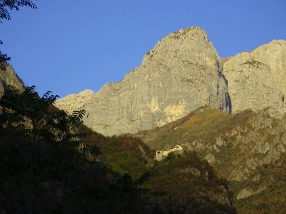
From the Vezio Castle we climb along the narrow ridge of Monte Fopp to the Croce del Fopp and Sass da Poo. After a rest area, the path flattens out and, along a dirt road that runs along the slopes of Mount Fopp, we reach Ortanella. We pass the Pozzal pond and follow the forest road to the church of San Pietro, a panoramic point with an equipped rest area. From here the path begins to descend towards the Alpe di Mezzedo and the Croce di Brentalone, beyond which we take the descent with stairs until we reach the freeway. We pass the town of Genico and enter Lierna shortly descending to the station.
