Elevation gain: 470 meters
Elevation loss: 457 meters
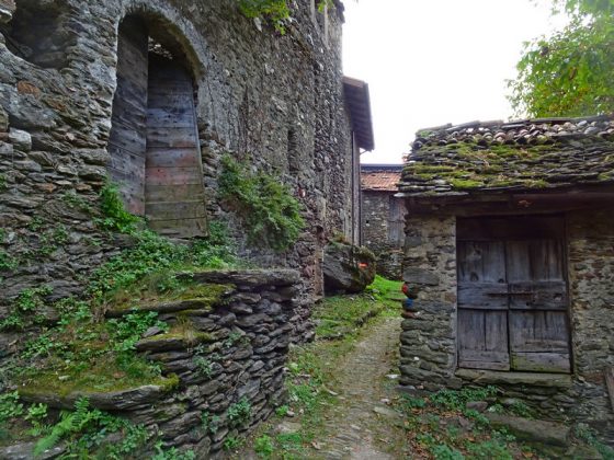
From the Colico station, turn right into Via Nazionale and after 200 m turn left into Via Padre Giuliani. We follow via Sigismondo Valli, via Sacro Cuore and vicolo Madonnina entering Villatico. We cross the town and take via Legnoncino until we cross the Perlino stream and reach Posallo. From here we continue to climb along the asphalted road with hairpin bends until its end. We pass a barrier to continue along a dirt road to the isolated church of the Madonna dei Monti. The road flattens and we pass the beautiful village of Sparese and the hamlet of Perdonasco. The path now continues downhill to the Chapel of San Rocco and the hamlet of Mandonico where, at the church of San Giorgio, we turn right and quickly descend to Dorio.
